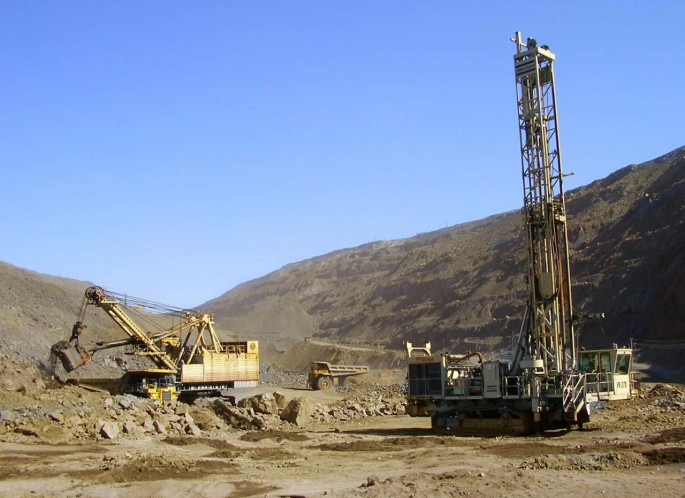
The “Anglo-Asian Mining” PLC, a gold producer in Azerbaijan, is commencing gold mining at the new “Gadir” mine.
Anglo Asian Mining PLC, the AIM listed gold, copper and silver producer focused on Azerbaijan, provided a summary of its geological exploration activities from July 1 through September 30, 2019 (3Q2019) at its Gadabay, Gosha and Ordubad contract areas, Trend reports.
Two exciting new mineral occurrences were discovered in Gadabay, namely, Avshancli - gold-copper occurrence comprising three areas, and Gilar - gold-hosting quartz vein.
Exploration work comprised underground drilling and mapping in Gadir underground mine. Seventy-three core drill holes with a total length of 3,412 meters were completed in Gadir underground mine. The drilling work resulted in defining ores that extend the footprint of the current Gadir mineralization both laterally and down dip. These positive results demonstrate expansion potential of the Gadir underground mine.
Data analysis from the surface Induced Polarization ('IP') geophysical survey on surface over the Gadir deposit using an advanced wireless system is ongoing. This technique involves transmitting an electrical current into the sub-surface which is then monitored by further electrodes. The results have been interpreted by external geophysicists and are currently being analyzed in conjunction with drill hole and other geological data by the company.
Seven surface drill holes were completed at the area adjacent to Ugur and drilling is continuing into Q4 - 2019.
Some 2,115 meters of diamond core was drilled around the existing Gosha underground mine. Preliminary analysis of the results of the drilling confirms the dominance of gold mineralization in the vicinity of Gosha.
Eighteen stream sediment samples were collected over the Asrikchay valley and targeted water courses flowing into the Asrikchay River and the Asrikchay River itself. Exploration over the region continues.
Reconnaissance fieldwork over new anomalies identified by the 2018 geochemical campaign was the main focus of the exploration in Ordubad contract area. In total, two square kilometers of mapping was completed, mainly in an area approximately 2.5 kilometers northeast of Dirnis village and two kilometers east of Keleki village, now named "Aylis". This mapping provided positive results with the identification of numerous vein sets over Aylis. Outcrop sampling will commence during Q4 - 2019.
Source: “Trend” News Agency, Exclusive content - https://en.trend.az/business/finance/3154134.html