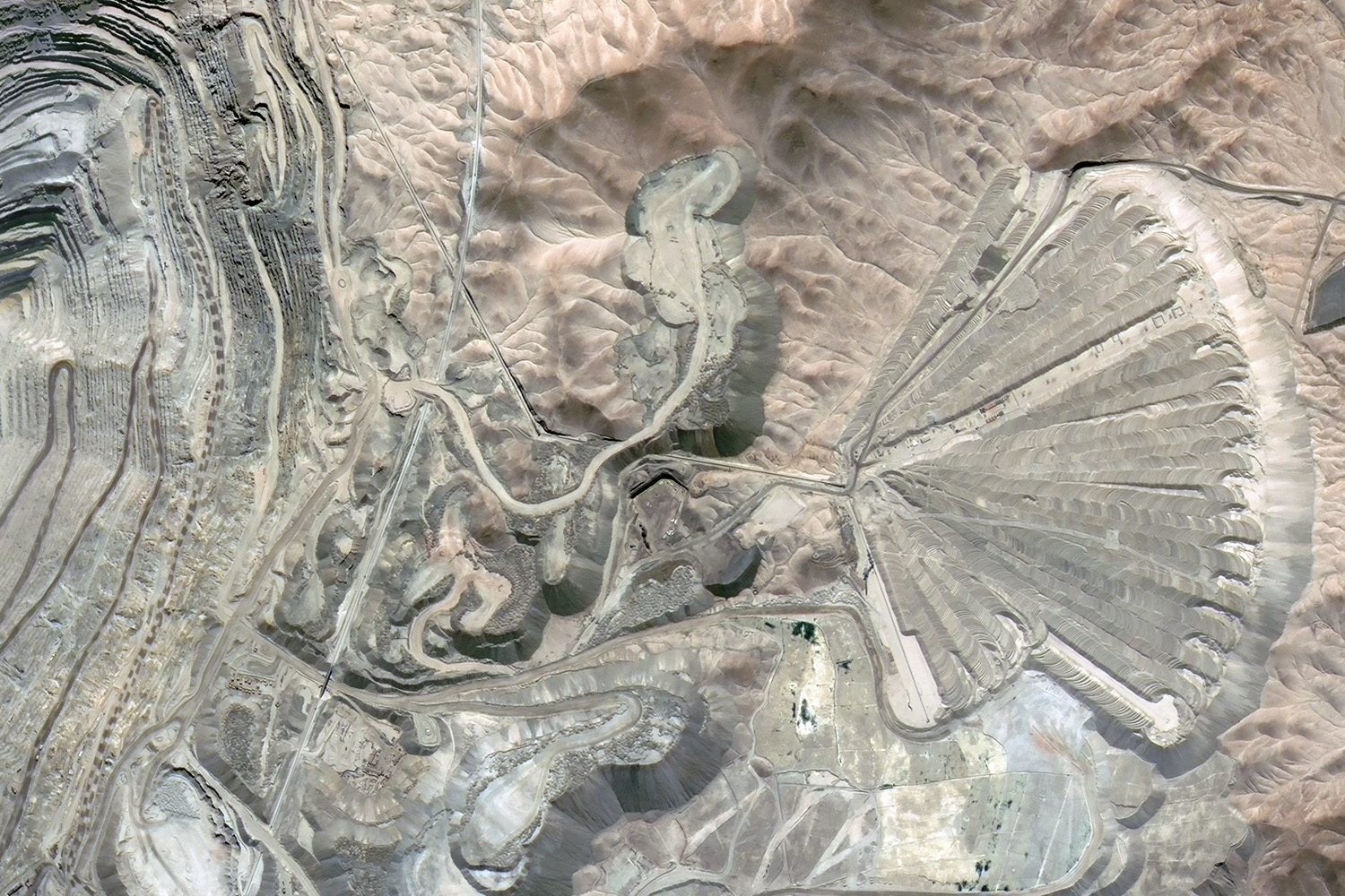
During a meeting in Baku between representatives of Azercosmos and the Institute of Geo-Information Systems under the Belarusian Academy, information was provided on the activities of the OJSC, as well as on satellites and the space program of Azerbaijan. On the photograph: The “Peacock tail” open pit mine in Chuquicamata, Chile. Color-synthesized image photographed by the Institute of Geoinformation Systems of the National Academy of Sciences of Belarus.
Azerbaijan’s Azercosmos OJSC and the National Academy of Sciences of Belarus signed an agreement on cooperation in the field of remote sensing services, the company reports.
The agreement envisions using images of the Azersky satellite by the academy in projects on agriculture, ecology, cartography, planning and monitoring of infrastructure, updating cadastral data, and determining tourist routes.
During a meeting in Baku between representatives of Azercosmos and the Institute of Geo-Information Systems under the Belarusian Academy, information was provided on the activities of the OJSC, as well as on satellites and the space program of Azerbaijan.
Besides, the Belarusian delegation got acquainted with the Main Satellite Ground Control Station of the Azerbaijan National Aerospace Agency.